Mold Inspection in Cedar Grove, Finding the Fault in a Poured Wall
A poured concrete wall fails at a named place, not everywhere at once. The survey finds that place and photographs it, which is a very different report from one that calls a wall porous.
Mold Inspection quote in Cedar Grove
Tell us what you can see or smell, roughly where in the house it is, and which side of the building that wall is on. Direction usually tells us more than the size of the patch does, because it points at where the water arrived rather than where it ended up.
Would you rather talk it through? Call (315) 640-3590, answered 24/7.
$100 off your first job
Credited by us on your first booked job.
- One credit per customer per property, on your first booked job.
- Valid through December 31, 2026.
Mention this offer when you book. Full terms.
450 feet of fall inside 4.24 square miles of Cedar Grove
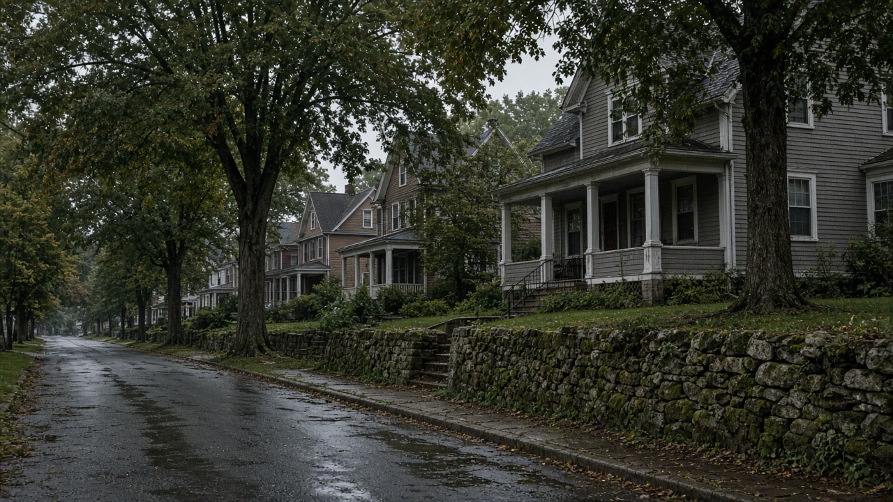
Cedar Grove township has the second youngest stock in this service area: a median year built of 1959, with only 449 of its 5,147 units, 8.7 percent, built in 1939 or earlier. Two thirds of its housing, 66.3 percent, is single family detached.
Source: United States Census Bureau, American Community Survey 2020-2024 five year estimates, accessed 2026-09-21
USGS elevation values sampled on a 175 point grid inside Cedar Grove run from about 183 feet above sea level at the township's northern edge to about 635 feet on the ridge. That 450 foot range sits inside a township of 4.24 square miles of land.
Source: United States Geological Survey, 3D Elevation Program point query service, accessed 2026-09-21
Cedar Grove's 2025 annex reports that its sewage treatment plant sits off Little Falls Road along the Peckman River and needs a resiliency assessment, that the Peckman is prone to flooding from fallen trees, shoaling and streambank collapse, and that several flood prone roadways are outside township jurisdiction, naming West Lindsley Road as an Essex County road and Route 23 from Bowden to Grove Avenue as a New Jersey Department of Transportation road. The township reports 6 repetitive loss properties and no severe repetitive loss properties.
Source: Essex County Office of Emergency Management, 2025 Hazard Mitigation Plan Update, Volume II, municipal annexes, accessed 2026-09-21
The USDA official series description for the Holyoke series, which occupies the higher and steeper bedrock controlled hills where the underlying rock is primarily basalt, gives a solum thickness and depth to bedrock of only 25 to 50 centimeters, about 10 to 20 inches, and classes the soils as well drained to somewhat excessively drained with medium to very rapid surface runoff.
Source: United States Department of Agriculture, Natural Resources Conservation Service, Official Series Description, accessed 2026-09-21
What a Cedar Grove survey looks for in a poured wall
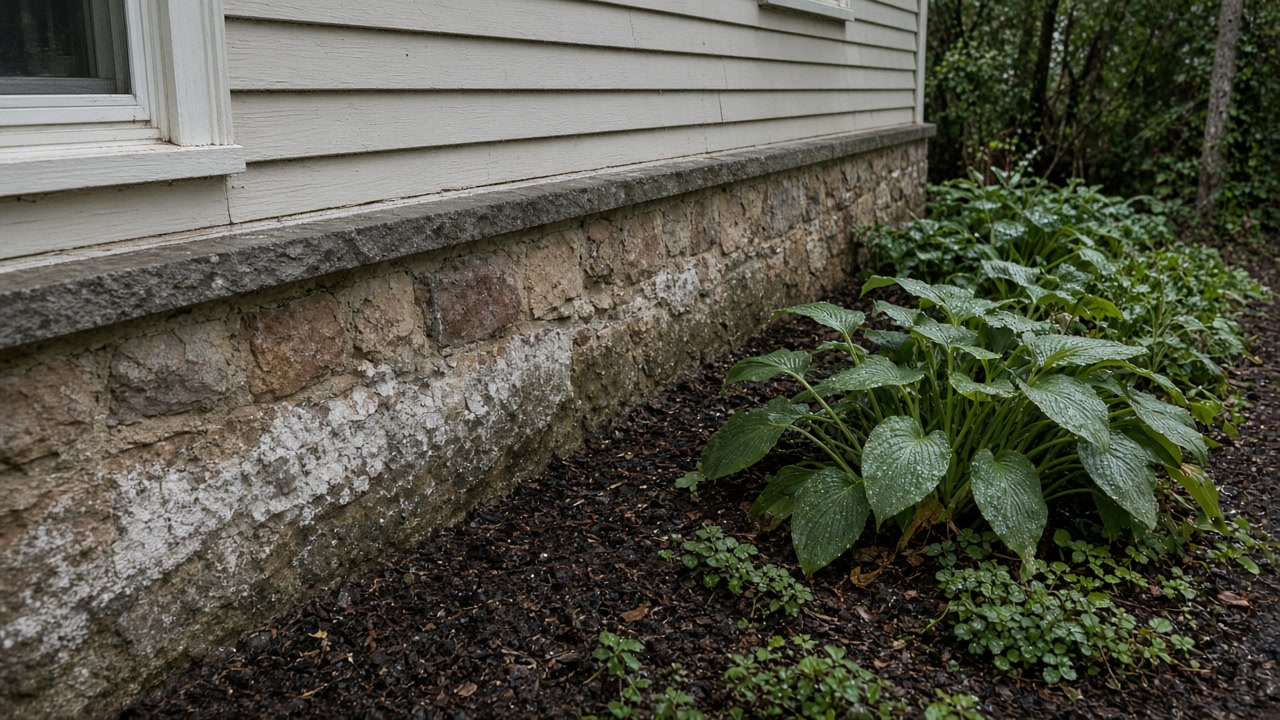
Cedar Grove is a rewarding town to survey because the answer is normally a repair rather than a project. Only 449 of the township's 5,147 housing units were built in 1939 or earlier and the median year built is 1959, so the wall a surveyor is standing at is typically poured concrete, and poured concrete fails at named places: a cold joint, a tie rod hole, a service penetration, a crack at a corner. Finding one of those and photographing it is a very different day from declaring an old masonry wall porous.
Whose road, and where to intercept, in Cedar Grove
The work that pays in Cedar Grove is normally interception above the house rather than sealing below it. Runoff arrives fast and hard, because sampled ground falls from about 635 feet on the ridge to about 183 at the northern edge inside only 4.24 square miles. If the water comes off a road, establish whose road: the township names West Lindsley Road as an Essex County road and Route 23 from Bowden to Grove Avenue as a state road, and a complaint filed at the wrong office waits months.
Which named defect the wall actually has
Only 8.7 percent of Cedar Grove units predate 1940 and the median year built is 1959. A poured wall fails at points, and a point can be found and photographed.
Where the water can be intercepted above the house
Sampled Cedar Grove ground falls from about 635 feet on the ridge to about 183 feet at the northern edge, inside 4.24 square miles of land.
Whose road is sending it to you
The township names West Lindsley Road as an Essex County road and Route 23 from Bowden to Grove Avenue as a state road. Neither is the township's to fix.
Locate the Cedar Grove defect before pricing a cure
Send a photograph of the wet area and one of the outside grade above it.
What a Cedar Grove report sets up next
Cedar Grove survey questions
My house is only from the fifties. Can it really have a water problem?
Yes, and it is usually a better problem to have. Cedar Grove's median year built is 1959 and only 449 of its 5,147 units predate 1940, so the common failure is a defect at one point in a poured wall rather than a wall that is porous everywhere. A survey that locates and photographs that point turns an open ended waterproofing conversation into a repair with a price on it.
The water comes off the road. Who do I complain to?
Establish the road first. Cedar Grove's own annex names West Lindsley Road as an Essex County road and Route 23 from Bowden to Grove Avenue as a New Jersey Department of Transportation road, so the township has authority over neither. The survey records where the water enters your property, and that record is what the correct office needs to see.
Whose road sits above your wet wall
We will say what a Cedar Grove survey should look for and whose road is likely in the story.