Essex County
Mold Removal in Montclair, Where the Water Comes Downhill
Send the street and which side of the house the damp wall is on, and we will tell you whether this is an assessment, a removal, a drying job or nothing worth paying for. The median Montclair house was finished in 1938 and the township falls more than 450 feet from the Watchung ridge to the Glen Ridge line, so on most addresses here the water reached that wall from uphill rather than from underneath it.
Request a quote in Montclair
Tell us what you can see or smell, roughly where in the house it is, and which side of the building that wall is on. Direction usually tells us more than the size of the patch does, because it points at where the water arrived rather than where it ended up.
Would you rather talk it through? Call (315) 640-3590, answered 24/7.
$100 off your first job
Credited by us on your first booked job.
- One credit per customer per property, on your first booked job.
- Valid through December 31, 2026.
Mention this offer when you book. Full terms.
Three Montclair chapters can touch one basement job
Permits for basement work come from Montclair's own Construction Code Enforcing Division under Chapter 121, and two further chapters can land on the same job: Chapter 161 for flood hazard work, run by a floodplain administrator, and Chapter 295 for stormwater. If the plan involves regrading or digging against an uphill wall, Chapter 294 covers steep slopes and can turn what looks like landscaping into permitted work, so ask before a machine arrives rather than after. Water and sewer go to the township's own Water Bureau and Sewer Utility instead of a regional supplier, which matters when the suspect is a service line rather than groundwater, because the owner of the pipe decides who investigates. The one thing Montclair cannot do for you is look an address up: the township reports that it keeps no record of properties damaged by flooding, so what you can actually obtain is the seller's disclosure statement, the federal claim history attached to the property, and the neighbors on the block. That is worth doing, because 810 of roughly 11,000 tax parcels sit in a mapped flood zone, and those zones follow Toneys, Nishuane, Crescent, Yantacaw, Wigwam and the Third River, most of which are invisible from the sidewalk.
Areas within Montclair: Upper Montclair, Montclair Center, Watchung Plaza, South End, Frog Hollow, Walnut Street
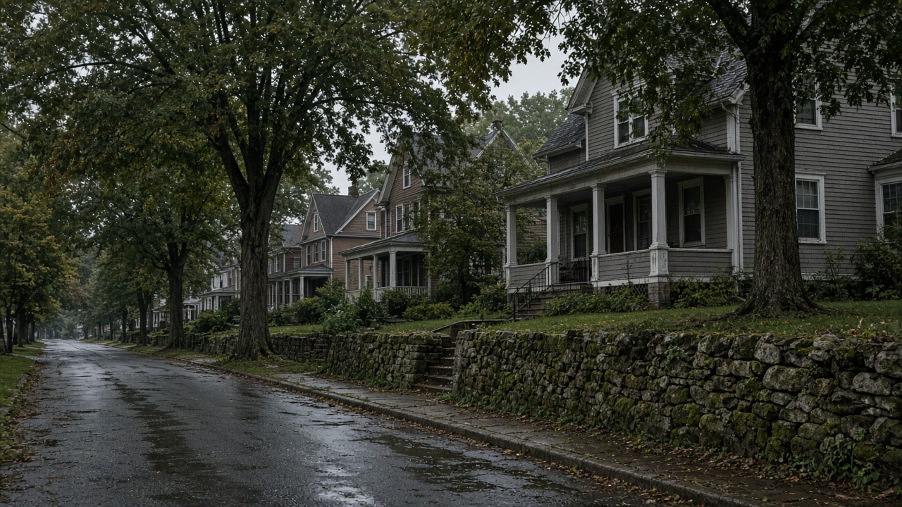
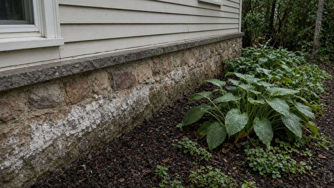
Uphill wall, or downhill corner?
Tell us the street and which way the ground falls across your lot. We will say whether the work belongs outside the foundation or inside the finished wall.
Upper Montclair to Frog Hollow: what we arrange
Mold Inspection and Moisture Survey
Find out where the water is arriving, from which side of the building, and whether there is a mold job here at all, in a written report from a company that is not selling you the removal.
Mold Inspection in Montclair →Mold Removal and Remediation
Take out the material the mold has grown into, under containment, and put the room back with the original plaster, trim and stonework treated as worth saving, all priced against a scope somebody else wrote.
Mold Removal in Montclair →Water Damage Drying and Flooded Basement Cleanup
Water out and the structure dried inside the one to two day window that separates a cleanup from a strip out.
Water Damage Drying in Montclair →301 paid claims, and 115 of them outside the mapped zone
The American Community Survey puts the median year a Montclair township housing unit was built at 1938, which is 42 years older than the national median and 20 years older than the Essex County median. The value carries no margin of error because it sits at the bottom of the range the table reports.
Source: United States Census Bureau, American Community Survey 2020-2024 five year estimates, accessed 2026-09-21
USGS 3D Elevation Program values sampled on a 383 point grid inside the Montclair township boundary run from about 184 feet above sea level on the southern and eastern edges, where the township meets Glen Ridge and Bloomfield, to about 639 feet on the western side along the First Watchung ridge. That is a rise of more than 450 feet inside a township of 6.24 square miles of land.
Source: United States Geological Survey, 3D Elevation Program point query service, accessed 2026-09-21
Federal flood insurance records list 301 paid claims in Montclair totaling about $3.20 million. Of those, 156 are coded as accumulation of rainfall or snowmelt and only 90 as stream, river or lake overflow. The three costliest events are the remnants of Hurricane Ida in 2021 with 63 claims and about $1.63 million paid, Hurricane Irene in 2011 with 58 claims, and Hurricane Floyd in 1999 with 44 claims.
Source: Federal Emergency Management Agency, OpenFEMA FIMA NFIP Redacted Claims v2, accessed 2026-09-21
Of Montclair's 301 paid federal flood insurance claims, 115 were on properties rated in zone X, B or C, that is outside the Special Flood Hazard Area, against 184 rated in zone A or AE inside it.
Source: Federal Emergency Management Agency, OpenFEMA FIMA NFIP Redacted Claims v2, accessed 2026-09-21
Of the 265 Montclair flood insurance claims that record a basement type, 119 were on properties with a finished basement or enclosure and 138 on unfinished ones. Across this whole service area the same field shows finished basements outnumbering unfinished ones in Glen Ridge, Verona, Cedar Grove, Millburn, Livingston and Clifton.
Source: Federal Emergency Management Agency, OpenFEMA FIMA NFIP Redacted Claims v2, accessed 2026-09-21
The Montclair Engineering Bureau states that 810 of the roughly 11,000 tax parcels in Montclair, about 7.5 percent, lie within one or more flood zones, and that there are multiple areas of Special Flood Hazard in the township associated with various waterways, most frequently Toney's and Nishuane Brooks.
Source: Township of Montclair, Engineering Bureau, accessed 2026-09-21
The Montclair Engineering Bureau states that most of the township's flood zone properties are associated with floodplains resulting from undersized road culverts or encroachments into a natural floodway, that those systems accommodated conditions that existed fifty years or more ago, and that the cumulative effect of continued development has been a steady increase in peak stream flows and localized street flooding during major storms.
Source: Township of Montclair, Engineering Bureau, accessed 2026-09-21
The Montclair Engineering Bureau lists six named waterways with associated floodplains inside the township: Toneys Brook, Nishuane Brook, Crescent Brook, Yantacaw Brook, 3rd River, also known as Pearl Brook, and Wigwam Brook.
Source: Township of Montclair, Engineering Bureau, accessed 2026-09-21
In the 2025 Essex County plan, Montclair reports that floodplain management sits with its Department of Community Services, that no staff hold the CFM floodplain manager credential, and that the township does not maintain a list of properties that have been damaged by flooding or a list of property owners interested in flood mitigation.
Source: Essex County Office of Emergency Management, 2025 Hazard Mitigation Plan Update, Volume II, municipal annexes, accessed 2026-09-21
Montclair enforces the New Jersey Uniform Construction Code through its own Construction Code Enforcing Division under Chapter 121 of the township code, with a Construction Official and separate building, electrical, plumbing, fire and elevator subcode officials. Flood hazard work falls under Chapter 161, Flood Damage Prevention, administered by a Floodplain Administrator, and stormwater under Chapter 295.
Source: Essex County Office of Emergency Management, 2025 Hazard Mitigation Plan Update, Volume II, municipal annexes, accessed 2026-09-21
Describe the patch and we will read it
Send what you can see and what the room smells like. Phones answered 24/7, and nothing you send commits you to anything.