Mold Inspection in Nutley, Checked Against a Published Street List
Before you pay anyone, there is a check here that costs nothing and that no other town in this area lets you make. After that, the survey finds the entry point and measures what sits behind it.
Mold Inspection quote in Nutley
Tell us what you can see or smell, roughly where in the house it is, and which side of the building that wall is on. Direction usually tells us more than the size of the patch does, because it points at where the water arrived rather than where it ended up.
Would you rather talk it through? Call (315) 640-3590, answered 24/7.
$100 off your first job
Credited by us on your first booked job.
- One credit per customer per property, on your first booked job.
- Valid through December 31, 2026.
Mention this offer when you book. Full terms.
The Passaic Avenue Bridge and the Nutley backup
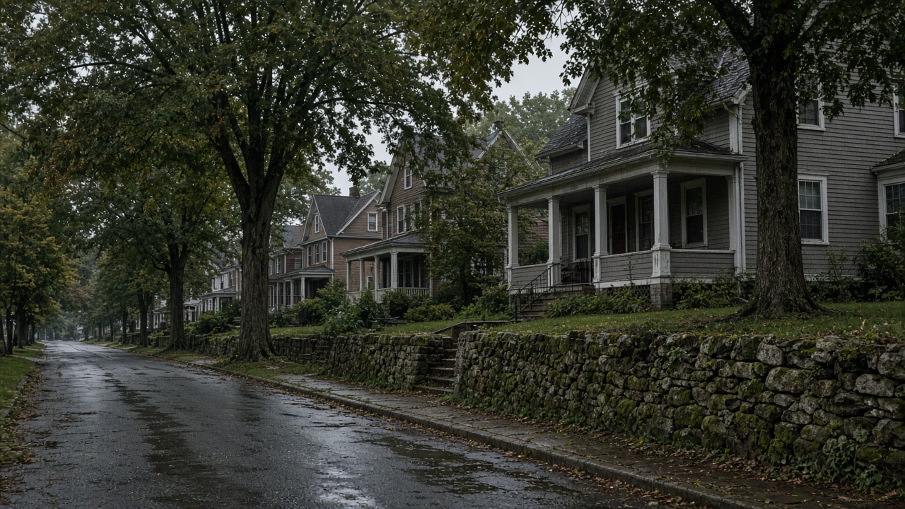
Nutley's 2025 annex names the locations that flood during heavy rain of about four inches or more in a short period, in addition to the mapped flood zones: Hope Street, Milton Avenue and Bloomfield Avenue; Rhoda Avenue, Mapes Avenue and Stanley Avenue at the stormwater basins; the intersections of Bloomfield Avenue and Raymond Avenue, Hancox Avenue and Nicola Place, and Cross Street and Evergreen Avenue; Hancox Avenue near Passaic Avenue; and Centre Street east of Bloomfield Avenue.
Source: Essex County Office of Emergency Management, 2025 Hazard Mitigation Plan Update, Volume II, municipal annexes, accessed 2026-09-21
Nutley's annex reports that the Third River flows through the park system in the center of the township, that existing gabion walls and natural shorelines need examination because there have been previous failures of structural streambank and erosion of natural streambank, and that where the Third River meets St Pauls Brook and flows under the Passaic Avenue Bridge the flow hits a wall, slows and causes backup. A section of gabion wall has been installed on Passaic Avenue near Satterwaitte Avenue.
Source: Essex County Office of Emergency Management, 2025 Hazard Mitigation Plan Update, Volume II, municipal annexes, accessed 2026-09-21
Whether a town can tell you if an address has flooded varies sharply here. In the 2025 county plan, Bloomfield, Glen Ridge and Verona report that they maintain a list of properties damaged by flooding. Montclair, Belleville, Cedar Grove, Livingston, Millburn and Nutley report that they do not. West Orange answers in the near future, and Caldwell answers that it has no formal process but that the information is part of the borough's incident reports.
Source: Essex County Office of Emergency Management, 2025 Hazard Mitigation Plan Update, Volume II, municipal annexes, accessed 2026-09-21
USGS elevation values sampled on a 177 point grid inside Nutley township run from about 2 feet below sea level on the Passaic River edge to about 235 feet on the western side. Nutley contains the lowest ground of any municipality in this service area.
Source: United States Geological Survey, 3D Elevation Program point query service, accessed 2026-09-21
The free Nutley check before you pay anyone
Start a Nutley survey with something free. The township has published the locations that flood in heavy rain of about four inches or more, naming Hope Street, Milton and Bloomfield Avenues, Rhoda, Mapes and Stanley at the stormwater basins, the crossings at Bloomfield and Raymond, Hancox and Nicola, and Cross and Evergreen, Hancox near Passaic Avenue, and Centre Street east of Bloomfield Avenue. If your address is on it, design for repeat water. If it is not, the cause is probably on your own lot, and that is what the survey goes looking for.
Why a dry Nutley neighbor proves nothing about you
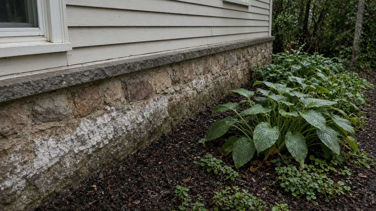
Do not read the neighbors as evidence in Nutley. The township reports a hydraulic pinch where the Third River meets St Pauls Brook and passes under the Passaic Avenue Bridge, where the flow hits a wall, slows and backs up, so properties upstream of that bridge get wet before properties downstream do and a dry house two streets away proves very little. Nutley also reports keeping no list of flood damaged properties, so the address history is the seller's disclosure and the federal claim record, and the survey is what fills the gap.
Whether your street is on the published list
Nutley names the locations that flood in heavy rain of about four inches or more in a short period, from Hope Street to Centre Street east of Bloomfield Avenue.
Which side of the Passaic Avenue Bridge you are on
Where the Third River meets St Pauls Brook and passes under that bridge the flow hits a wall, slows and causes backup. Upstream wets before downstream.
Where the address history will come from
Nutley reports keeping no list of flood damaged properties, so the record is the seller's disclosure statement and the federal claim history attached to the building.
Check your Nutley street before paying a fee
Send the address. If it is on the township's published list we will tell you what that changes.
What a Nutley survey leads to
Nutley survey questions we hear
My street is not on Nutley's flood list. Am I in the clear?
It makes a township wide cause less likely, which is useful, but it does not clear your lot. Nutley published that list for heavy rain of about four inches or more in a short period, so it names the known pressure points rather than every wet basement. Where a street is not listed, the survey concentrates on the grade, the downspouts, the service penetrations and the wall itself.
The house behind me stays dry. Why does mine flood?
Often the bridge. Nutley reports that where the Third River meets St Pauls Brook and flows under the Passaic Avenue Bridge the flow hits a wall, slows and causes backup, so water banks up on the upstream side. Ground here also runs from about 2 feet below sea level at the river edge to about 235 feet on the west, so two nearby houses can be in entirely different situations.
Give us the street and we will check the list
We will say what a Nutley survey has to measure and what you can find out for nothing first.