Mold Inspection in Millburn and Short Hills, Beyond the Zone Letter
The zone letter on the map is not the verdict in Millburn. The survey reads your own lot and your own building, and names which of the two the water is actually using.
Mold Inspection quote in Millburn
Tell us what you can see or smell, roughly where in the house it is, and which side of the building that wall is on. Direction usually tells us more than the size of the patch does, because it points at where the water arrived rather than where it ended up.
Would you rather talk it through? Call (315) 640-3590, answered 24/7.
$100 off your first job
Credited by us on your first booked job.
- One credit per customer per property, on your first booked job.
- Valid through December 31, 2026.
Mention this offer when you book. Full terms.
Four in five Millburn claims were rated low or moderate risk
Of Millburn's 403 paid flood insurance claims, 254 were rated in zone X, and a further 47 in zone B and 22 in zone C, so 323 of 403 were on properties rated outside the Special Flood Hazard Area. Only 59 were rated in zone A or AE.
Source: Federal Emergency Management Agency, OpenFEMA FIMA NFIP Redacted Claims v2, accessed 2026-09-21
USGS elevation values sampled on a 213 point grid inside Millburn township run from about 89 feet above sea level in the south along the Rahway River to about 557 feet in the Short Hills section.
Source: United States Geological Survey, 3D Elevation Program point query service, accessed 2026-09-21
Whether a town can tell you if an address has flooded varies sharply here. In the 2025 county plan, Bloomfield, Glen Ridge and Verona report that they maintain a list of properties damaged by flooding. Montclair, Belleville, Cedar Grove, Livingston, Millburn and Nutley report that they do not. West Orange answers in the near future, and Caldwell answers that it has no formal process but that the information is part of the borough's incident reports.
Source: Essex County Office of Emergency Management, 2025 Hazard Mitigation Plan Update, Volume II, municipal annexes, accessed 2026-09-21
Floodplain manager credentialing is uneven across this service area. In the 2025 county plan, Bloomfield, Livingston, Nutley and West Orange report having staff who hold the CFM floodplain manager credential, Millburn reports that the township engineer holds it, and Verona reports that the service comes from its consulting engineer. Belleville, Caldwell, Cedar Grove, Glen Ridge and Montclair report that no staff hold it.
Source: Essex County Office of Emergency Management, 2025 Hazard Mitigation Plan Update, Volume II, municipal annexes, accessed 2026-09-21
Why a Millburn survey ignores the flood zone letter
Millburn is the clearest case in this area for refusing to treat a flood zone as a verdict. Of the township's 403 paid flood insurance claims, 254 were rated zone X with a further 47 in zone B and 22 in zone C, so 323 of 403 sat on properties the maps placed outside the Special Flood Hazard Area, against only 59 rated A or AE. A survey here therefore starts from the ground and the building rather than from the designation, and it names which of the two the water is actually using.
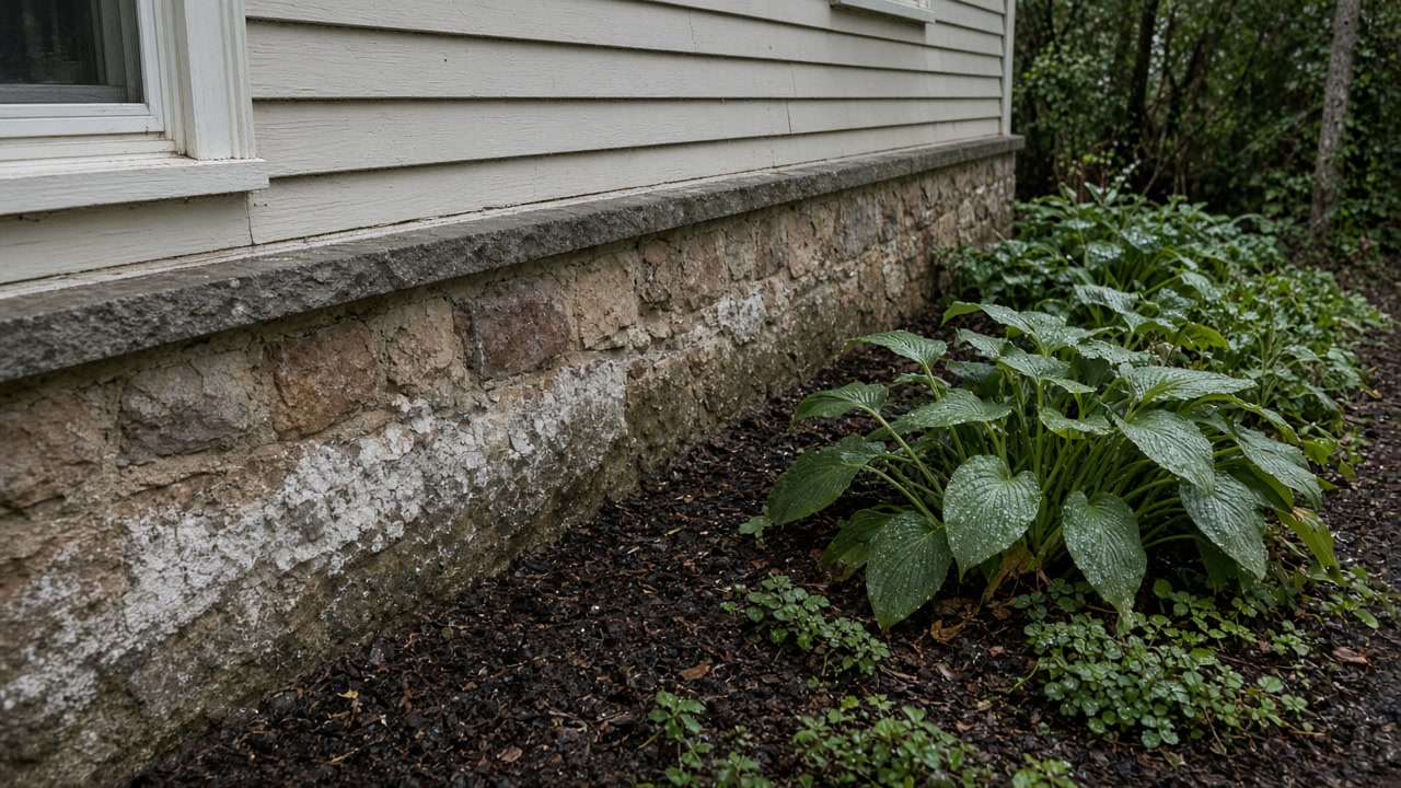
Reading the Millburn lot instead of the township
Read the lot, not the township. Sampled Millburn ground runs from about 89 feet along the Rahway in the south to about 557 feet in the Short Hills section, so the address decides everything and the name on the deed decides nothing. Millburn also keeps no list of flood damaged properties even though its township engineer holds the floodplain manager credential, which means the technical question can be answered here but the history question cannot, and the record you can assemble is the seller's disclosure and the federal claim history.
Where your own lot sits, not your township
Sampled Millburn ground runs from about 89 feet along the Rahway to about 557 feet in Short Hills. The address decides, and the township name does not.
What the zone letter is actually worth
323 of Millburn's 403 paid flood claims were rated zone X, B or C, outside the Special Flood Hazard Area, against only 59 rated A or AE.
Where the address history will come from
Millburn's engineer holds the CFM floodplain credential, but the township keeps no list of flood damaged properties, so the record is the disclosure and the claim history.
Get the Millburn lot read, not the map
Send the street and which way the ground falls at your house.
What a Millburn report sets up
Millburn and Short Hills survey questions
My Millburn house is in zone X. Do I need a survey at all?
Zone X is where most of the claims here came from. Of Millburn's 403 paid flood insurance claims, 254 were rated zone X plus 47 in zone B and 22 in zone C, so 323 of 403 were outside the Special Flood Hazard Area against 59 inside it. The zone describes modeled stream behavior, not what a heavy rain does to your particular lot.
Is Short Hills different from the rest of Millburn?
In elevation, very much so, and that is the point. Sampled ground in the township runs from about 89 feet in the south along the Rahway to about 557 feet in the Short Hills section, so two Millburn addresses can be in completely different situations. That is why the survey reads the lot, the grade and what sits above the house rather than the township.
Start with the address, not the map
We will say what a Millburn survey should measure and what record you can pull yourself.