Mold Inspection in Livingston, and the Month You Ask In
A Livingston lower level inspected in September will tell you almost nothing about March. The survey reads the season as well as the wall, so what you get back covers both.
Mold Inspection quote in Livingston
Tell us what you can see or smell, roughly where in the house it is, and which side of the building that wall is on. Direction usually tells us more than the size of the patch does, because it points at where the water arrived rather than where it ended up.
Would you rather talk it through? Call (315) 640-3590, answered 24/7.
$100 off your first job
Credited by us on your first booked job.
- One credit per customer per property, on your first booked job.
- Valid through December 31, 2026.
Mention this offer when you book. Full terms.
Water perched at 18 to 36 inches, November through May
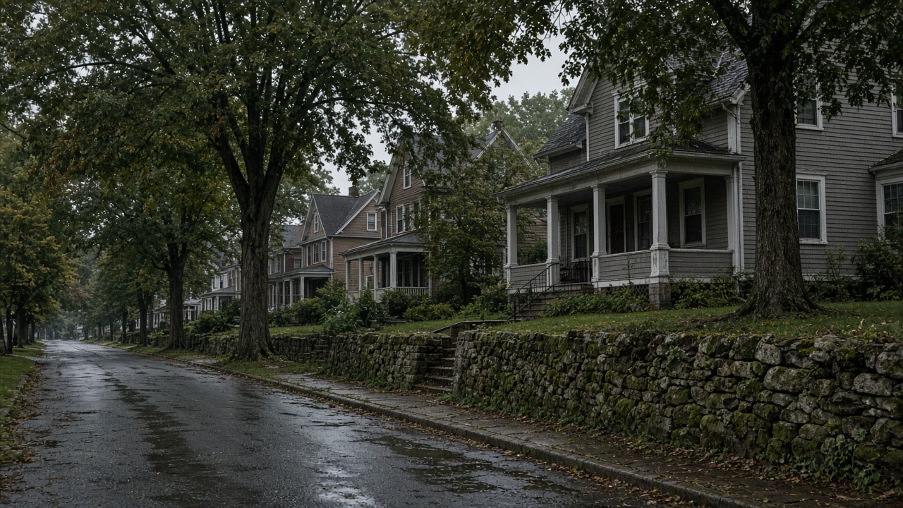
The USDA official series description for the Boonton series, the till upland soil of northeastern New Jersey formed over red to brown shale, sandstone, basalt and granitic gneiss, records a fragipan in which saturated hydraulic conductivity is low or very low, and a perched water table at a depth of 46 to 91 centimeters, roughly 18 to 36 inches, from November to May of most years. The description notes that most Boonton soils are in areas that have become highly urbanized.
Source: United States Department of Agriculture, Natural Resources Conservation Service, Official Series Description, accessed 2026-09-21
The Essex County hazard mitigation plan records the seasonal pattern of the county's water table: water tables are usually highest in the late winter and into early spring, water may pond or flood for variable periods during that time, and in May or June the table usually begins to drop to its lowest levels, which occur in September or October.
Source: Essex County Office of Emergency Management, 2025 Hazard Mitigation Plan Update, Volume I, accessed 2026-09-21
Livingston's 2025 hazard mitigation annex states that Canoe Brook, Cub Brook and Slough Brook are degraded, with eroded and collapsing streambanks, snags of trees and debris and excess sediment filling the channels, all of which have contributed to flooding that has affected residences. The township also reports that its Department of Public Works garage sits in the floodplain and has repetitively flooded, and that it has 14 repetitive loss properties and 2 severe repetitive loss properties.
Source: Essex County Office of Emergency Management, 2025 Hazard Mitigation Plan Update, Volume II, municipal annexes, accessed 2026-09-21
Livingston township has the newest housing in this service area, with a median year built of 1962 and only 982 of its 10,699 units, 9.2 percent, built in 1939 or earlier. Some 84.5 percent of the stock is single family detached and only 11.1 percent of occupied homes are rented.
Source: United States Census Bureau, American Community Survey 2020-2024 five year estimates, accessed 2026-09-21
Why the month decides what a Livingston survey can see
Timing is the Livingston trap. The till soils under this township hold a perched water table at roughly 18 to 36 inches below the surface from November through May, which is basement wall height, and the county's own plan records water tables here as highest in late winter and early spring before dropping to their lowest in September and October. A lower level viewed in early fall is being seen at the driest moment of its year, so an honest survey says what the wall is doing now and what it is likely doing in March.
The Livingston brief: season, brook, and a 1962 basement
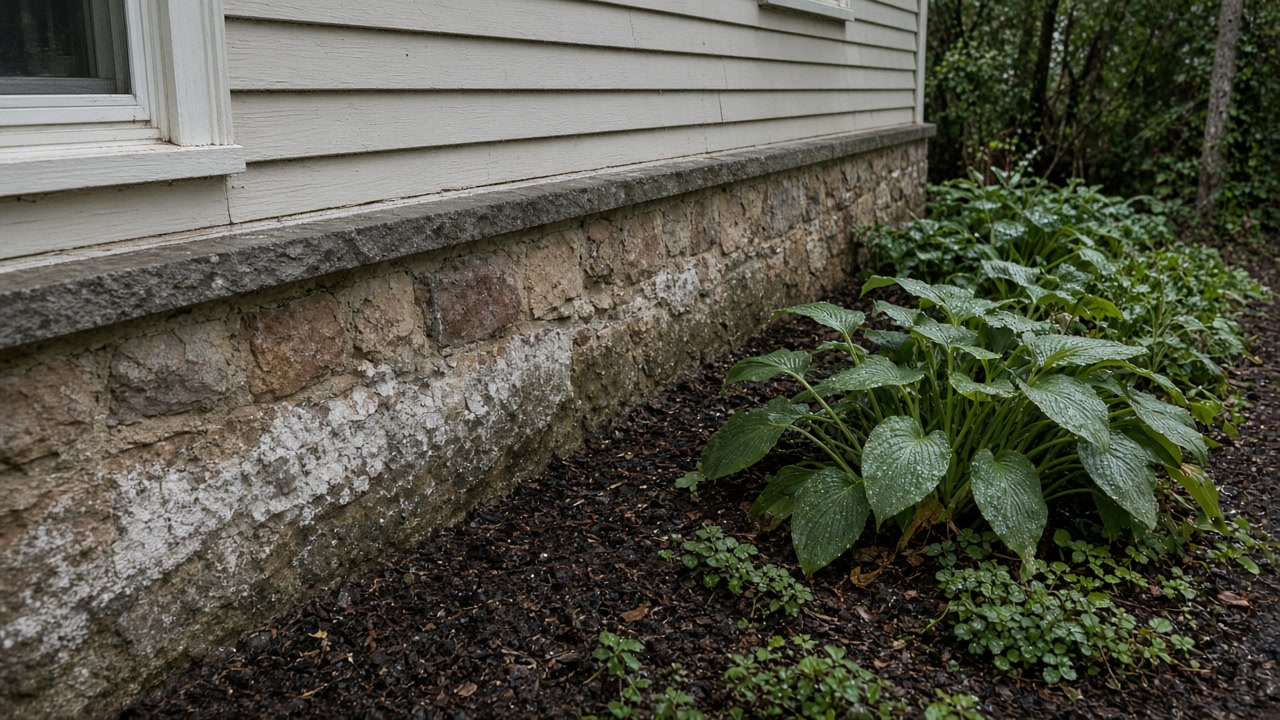
Forget the prewar foundation story, because it does not apply here. The housing is the newest in this area, median year built 1962 with only 982 of 10,699 units predating 1940, so the search runs through a finished lower level built against a sound wall rather than through plaster and stone. Near the brooks the effective floodplain is wider than the printed map, because the township reports Canoe, Cub and Slough Brooks as degraded with collapsing banks, snags and sediment filling the channels, which it says has contributed to flooding affecting residences.
Which month you are asking in
County records show water tables highest in late winter and early spring and lowest in September and October. The till soils here perch water at 18 to 36 inches from November to May.
Whether you are near a degraded brook
The township reports Canoe, Cub and Slough Brooks as degraded, with collapsing banks, snags and sediment filling the channels, contributing to flooding affecting residences.
How new the building actually is
Livingston's median year built is 1962 and only 982 of its 10,699 units predate 1940. The prewar foundation story mostly does not apply on this side of the ridge.
Ask what a Livingston wall does in March
Tell us when you noticed it and which month it is worst. That pair changes the reading.
What a Livingston report leads to
Livingston survey questions
I am buying in Livingston in October. Should I worry about the basement?
Ask what that wall does in March, because nobody can tell you from the wall in October. The Essex County plan records water tables as usually highest in late winter and into early spring and dropping from May or June to their lowest in September or October, and the till soils here perch water at roughly 18 to 36 inches from November to May. An October survey is honest about October and has to reason about the rest.
My house is from the sixties. Is this still a foundation problem?
Often not. Livingston has the newest housing in this service area, a median year built of 1962 with only 982 of its 10,699 units predating 1940, so the usual suspects are a finished lower level built tight against a sound wall, a service penetration, or a grade returning water to the house. A survey with a meter separates those quickly.
When did you first notice it
We will say what a Livingston survey should measure and when it is worth doing.